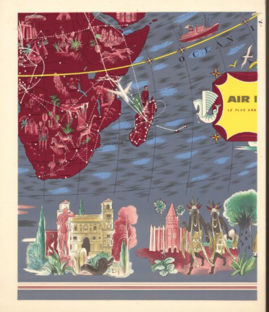
This week we used the David Rumsey map collection to rectify an old map. In particular, the map I was given was of Madagascar and part of Africa. This project confirmed my previous understanding of the spatial DH projects I’ve explored earlier in this class. Specifically, this project showed me that though the idea of digitalizing seems relatively simple (old map onto world map), there are still imperfections and challenges that arise with the process. For instance, when overlaying my map onto the world map, I noticed that no matter how accurately I overlayed my map, there were still some minor differences in features like coastlines or river paths. I can access this map in ArcGIA and QGIS apps or in iiif formats.
During this process of georectifying this map, I also noticed some potential possibilities. This process can shed light on cartography studies. For example, analyzing how old maps overlay onto new and updated maps can be useful for reviewing how land masses have changed throughout history. For example, an old map of a coastline from centuries ago may be starkly different from the coastlines mapped out in future maps with sea levels rising. I also see how the possibilities of this process can affect a much smaller level as well. For instance, an old map of a town overlayed onto a newer map of the same town can show/tell a story. For example, a town that was primarily composed of farmlands has now morphed into a business district with large buildings.
Though there are plenty of possibilities because of this process, there are a lot of complications and flaws too. For instance, cartography in the past was nowhere near as advanced and as accurate as it is now. This is something we have to consider when doing this georectifying process. Old maps that have lasted centuries may have inaccurately depicted coastlines, land sizes, and much more considering that their technology was far inferior to what is available now and what we know today. So, pinpointing exactly where certain maps should overlay onto a modern map may prove quite challenging.
I don’t think this process of georectifying maps would be appropriate for frequently changing areas or areas that require high accuracy. For instance, any small-scale map of a particular forest’s ecosystem wouldn’t be highly accurate for today’s research standards. A several centuries old map may only depict what the creator of the map saw, like a particular animal at a certain location. However, it wouldn’t be able to detect nearly all animals or species like we can in modern science.