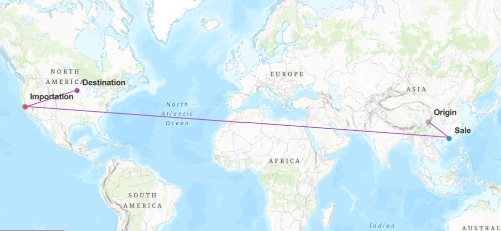
This week, my group and I used geo-mapping as a way to visualize data. The data referenced were the five separate locations of an artifact titled Tomb Figure of a Court Lady. We wanted to tell the story of where the artifact had been and how it arrived at Carleton. What we came up with was a map that accurately tells the story of this artifact in a way that is both interesting and easy to understand. We chose to label the points on the map by type rather than location because it made the most sense, as the locations are shown on the map. We also thought that the type category showed more progression through time. This was important because time completes the story, without this element the map wouldn’t say much. Overall, I am quite proud of the work that we did.